Index of /~nbassill/archive/2019/02/temp2
Name
Last modified
Size
Description
Parent Directory
-
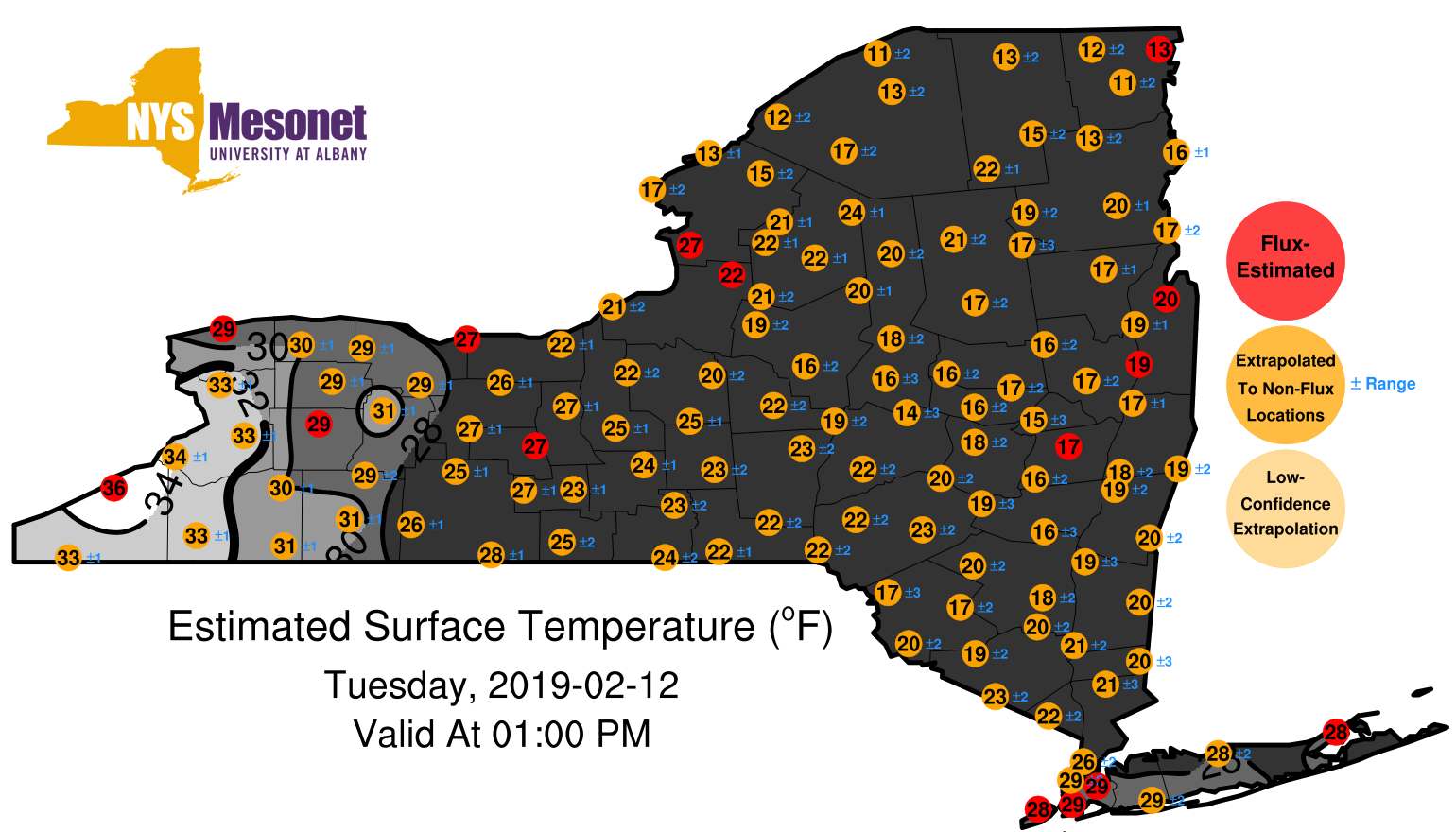
1902120100surfaceestimate.png
2019-02-14 01:11
334K
1902120200surfaceestimate.png
2019-02-14 01:11
333K
1902120300surfaceestimate.png
2019-02-14 01:11
328K
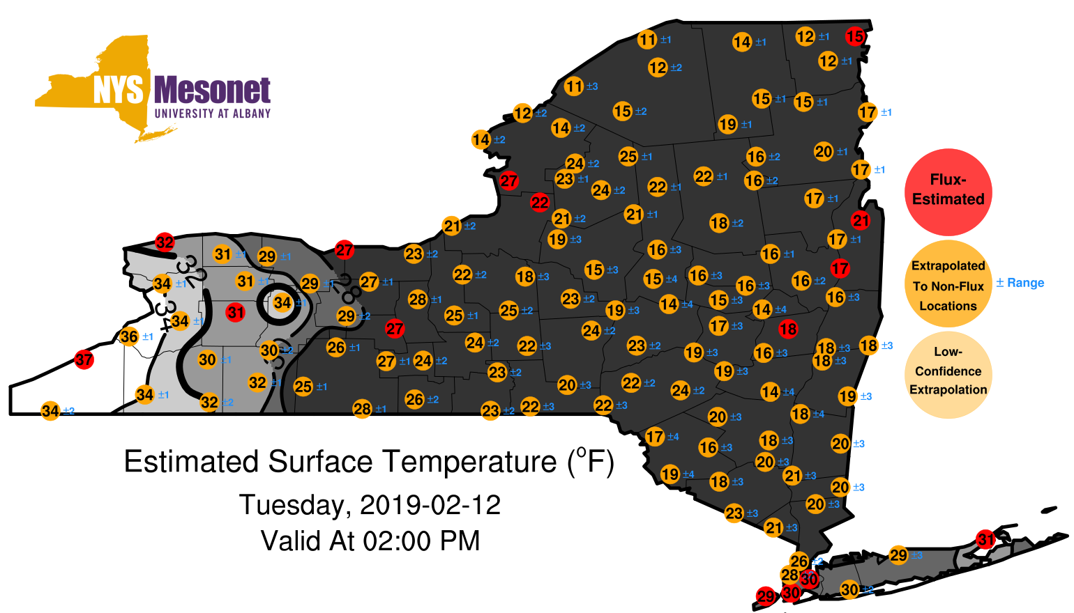
1902120400surfaceestimate.png
2019-02-14 01:11
324K
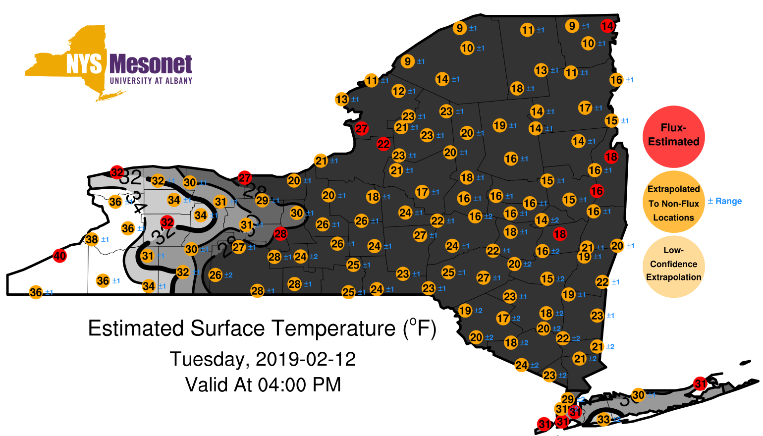
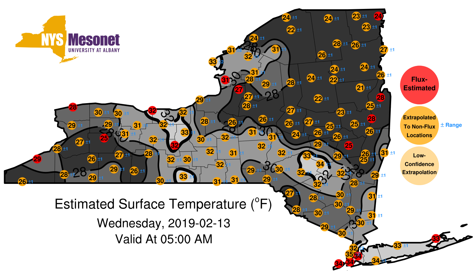
1902120500surfaceestimate.png
2019-02-14 01:11
325K
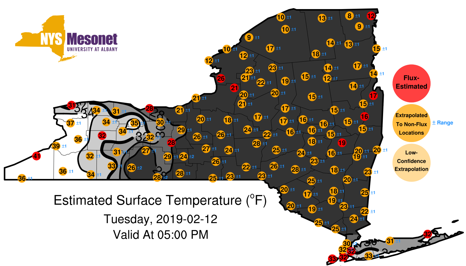
1902120600surfaceestimate.png
2019-02-14 01:11
327K
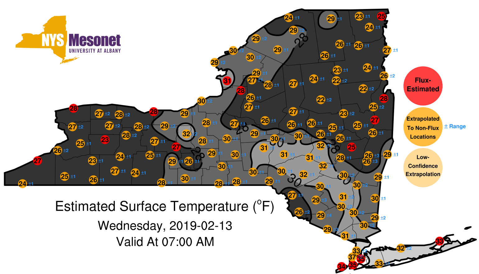
1902120700surfaceestimate.png
2019-02-14 01:11
328K
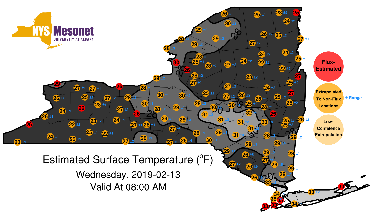
1902120800surfaceestimate.png
2019-02-14 01:11
331K
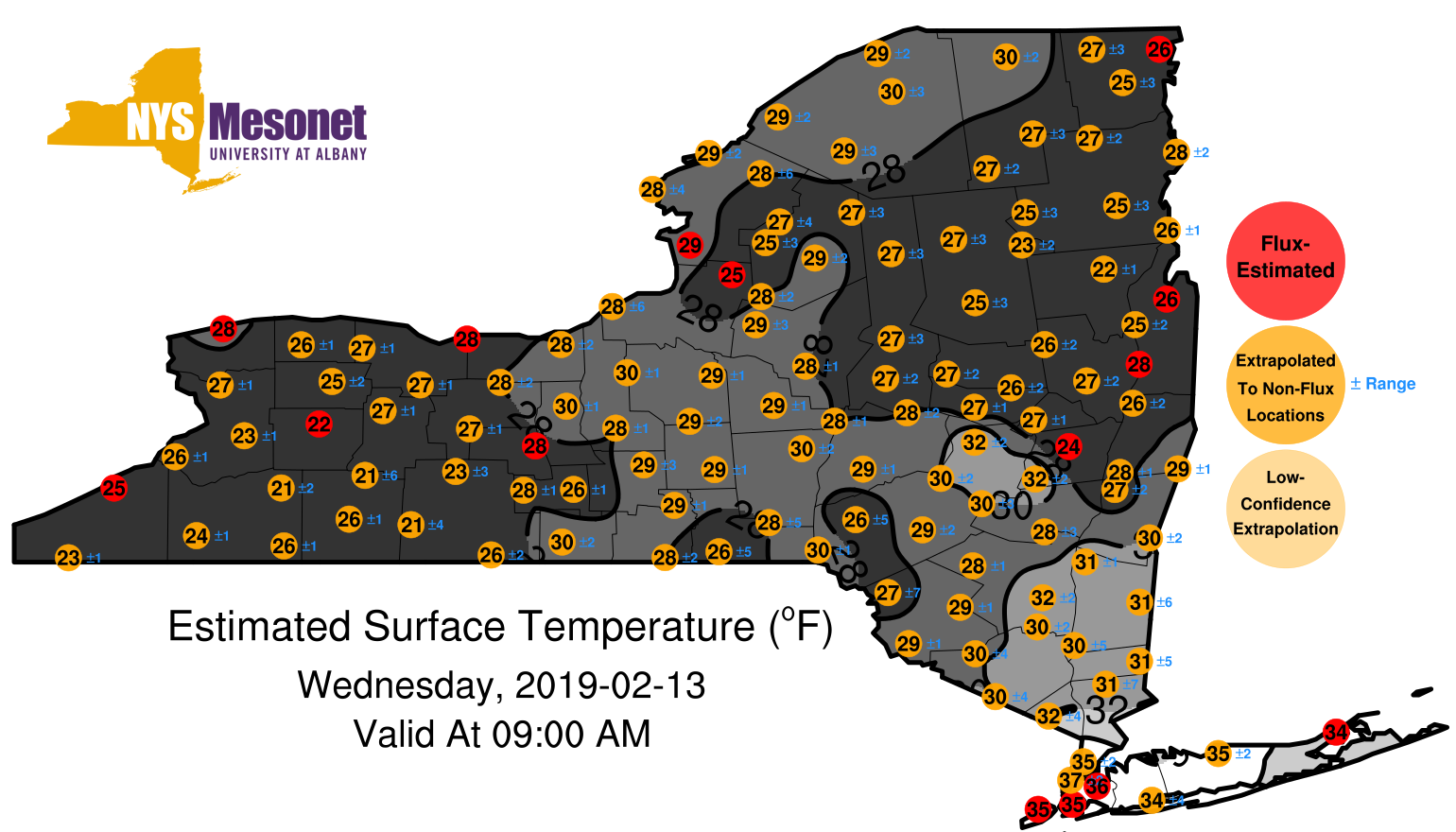
1902120900surfaceestimate.png
2019-02-14 01:11
328K
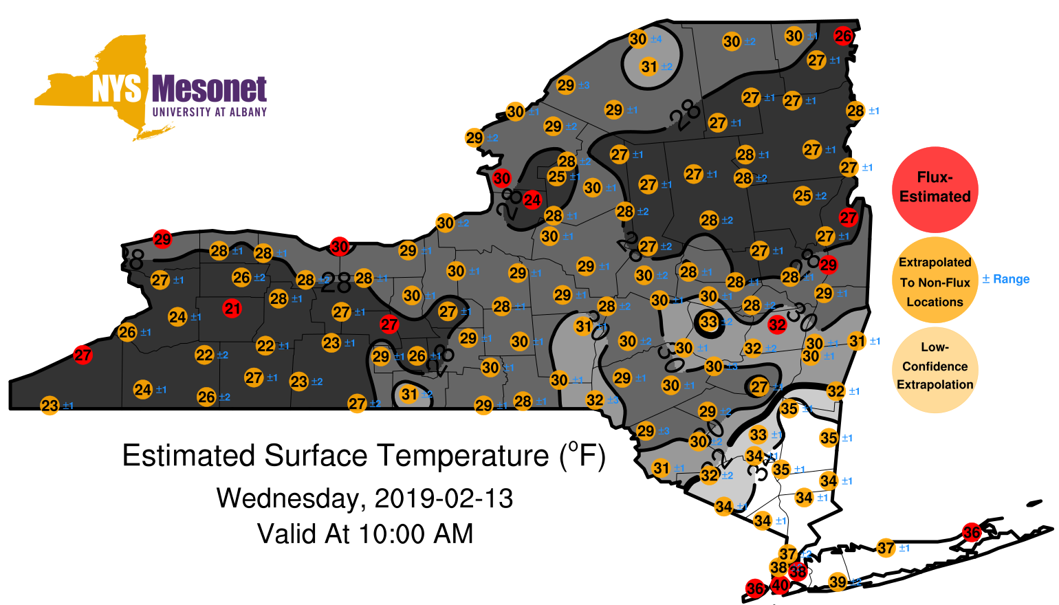
1902121000surfaceestimate.png
2019-02-14 01:11
325K
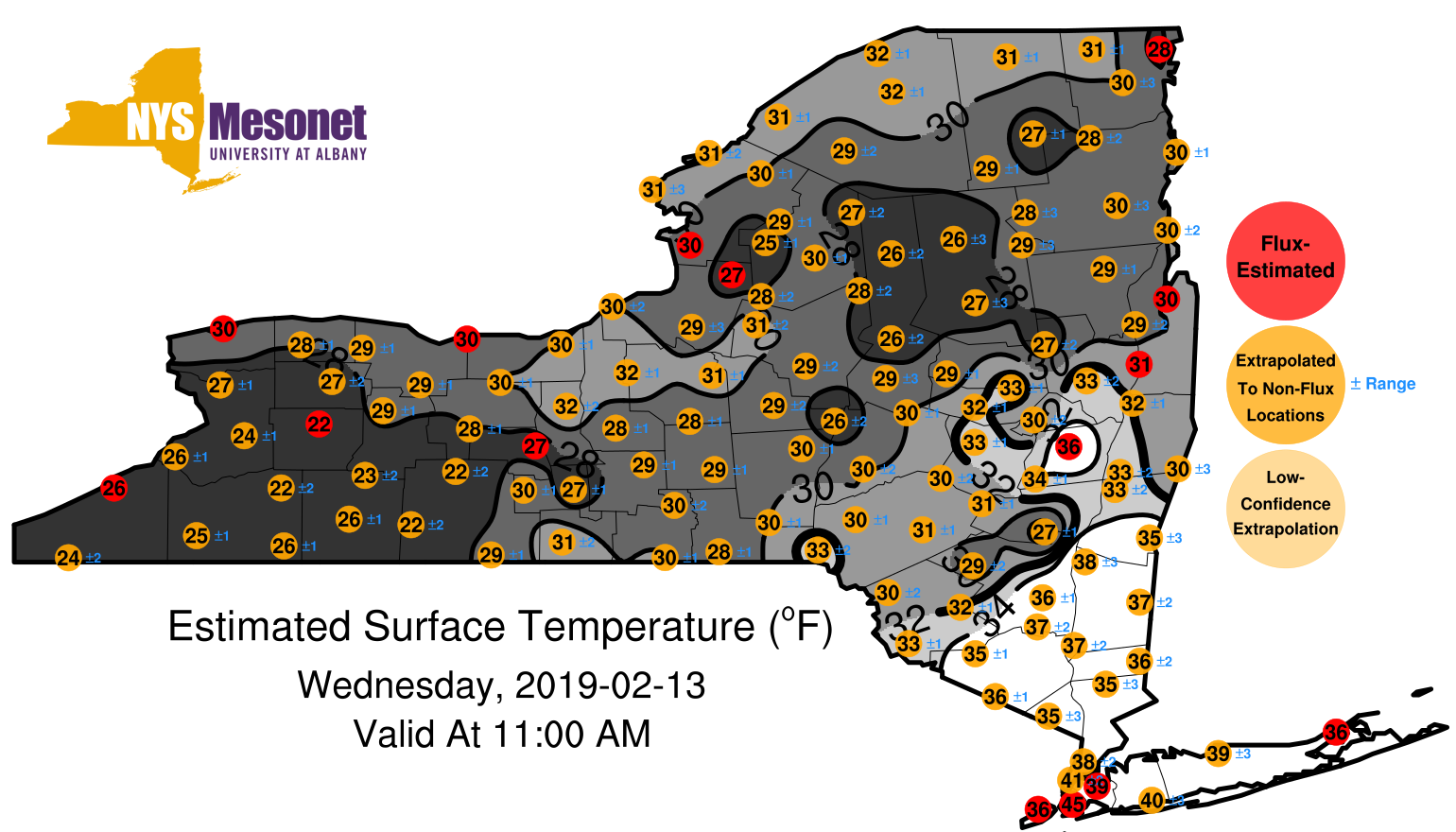
1902121100surfaceestimate.png
2019-02-14 01:11
320K
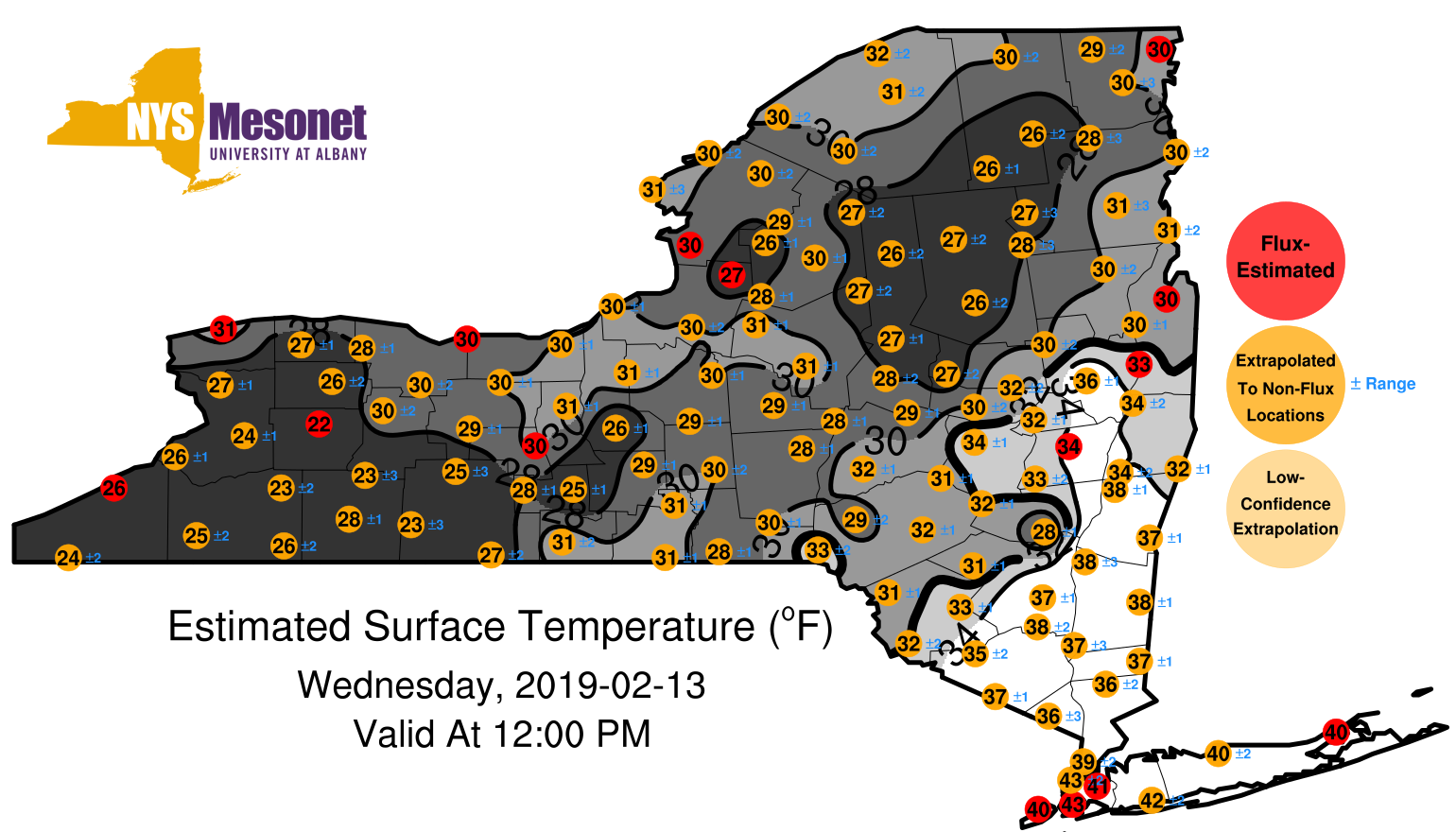
1902121200surfaceestimate.png
2019-02-14 01:11
323K
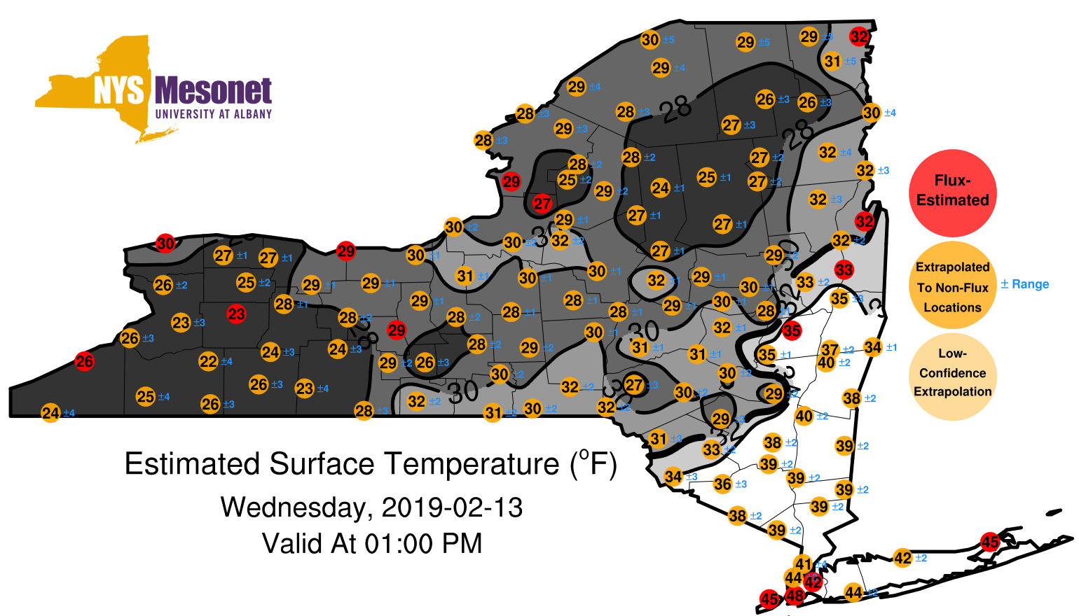
1902121300surfaceestimate.png
2019-02-14 01:11
328K
1902121400surfaceestimate.png
2019-02-14 01:11
340K
1902121500surfaceestimate.png
2019-02-14 01:11
343K
1902121600surfaceestimate.png
2019-02-14 01:11
338K
1902121700surfaceestimate.png
2019-02-14 01:11
344K
1902121800surfaceestimate.png
2019-02-14 01:11
348K
1902121900surfaceestimate.png
2019-02-14 01:11
348K
1902122000surfaceestimate.png
2019-02-14 01:11
351K
1902122100surfaceestimate.png
2019-02-14 01:11
346K
1902122200surfaceestimate.png
2019-02-14 01:11
345K
1902122300surfaceestimate.png
2019-02-14 01:11
346K
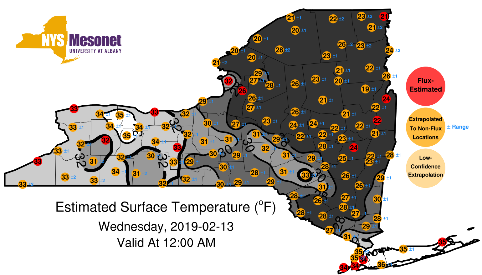
1902130100surfaceestimate.png
2019-02-14 01:11
349K
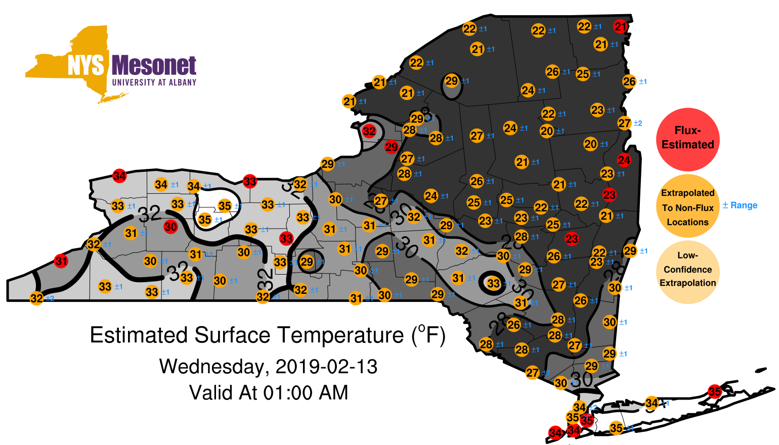
1902130200surfaceestimate.png
2019-02-14 01:11
354K
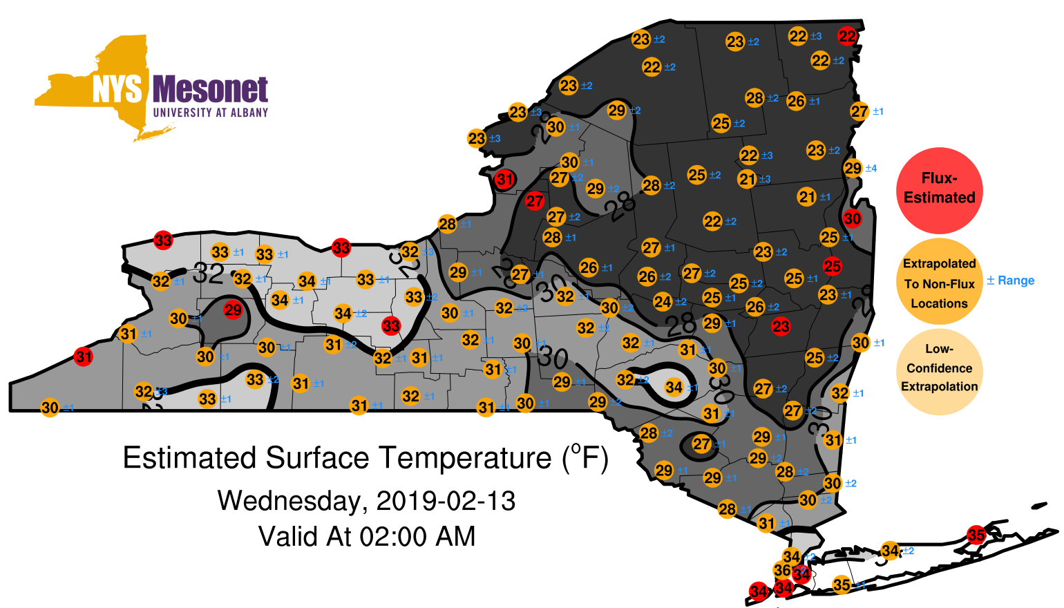
1902130300surfaceestimate.png
2019-02-14 01:11
373K
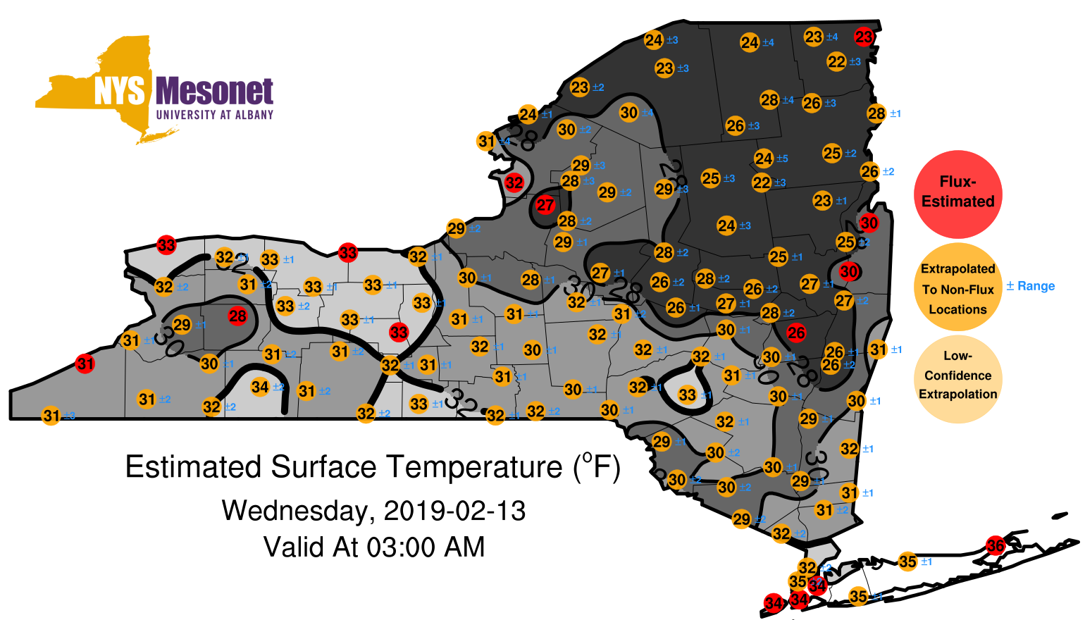
1902130400surfaceestimate.png
2019-02-14 01:11
370K
1902130500surfaceestimate.png
2019-02-14 01:11
385K
1902130600surfaceestimate.png
2019-02-14 01:11
391K
1902130700surfaceestimate.png
2019-02-14 01:11
397K
1902130800surfaceestimate.png
2019-02-14 01:11
402K
1902130900surfaceestimate.png
2019-02-14 01:11
411K
1902131000surfaceestimate.png
2019-02-14 01:11
402K
1902131100surfaceestimate.png
2019-02-14 01:11
394K
1902131200surfaceestimate.png
2019-02-14 01:11
383K
1902131300surfaceestimate.png
2019-02-14 01:11
379K
1902131400surfaceestimate.png
2019-02-14 01:11
381K
1902131500surfaceestimate.png
2019-02-14 01:11
398K
1902131600surfaceestimate.png
2019-02-14 01:11
417K
1902131700surfaceestimate.png
2019-02-14 01:11
414K
1902131800surfaceestimate.png
2019-02-14 01:11
413K
1902131900surfaceestimate.png
2019-02-14 01:11
406K
1902132000surfaceestimate.png
2019-02-14 01:11
396K
1902132100surfaceestimate.png
2019-02-14 01:11
380K
1902132200surfaceestimate.png
2019-02-14 01:11
362K
1902132300surfaceestimate.png
2019-02-14 01:11
355K
1902132300surfaceestimate1.png
2019-02-14 01:13
355K
1902132300surfaceestimate2.png
2019-02-14 01:13
355K
1902132300surfaceestimate3.png
2019-02-14 01:13
355K