Index of /~nbassill/archive/2019/12/temp
Name
Last modified
Size
Description
Parent Directory
-
1912170800surfaceestimate.png
2019-12-17 08:00
349K
1912170900surfaceestimate.png
2019-12-17 09:00
345K
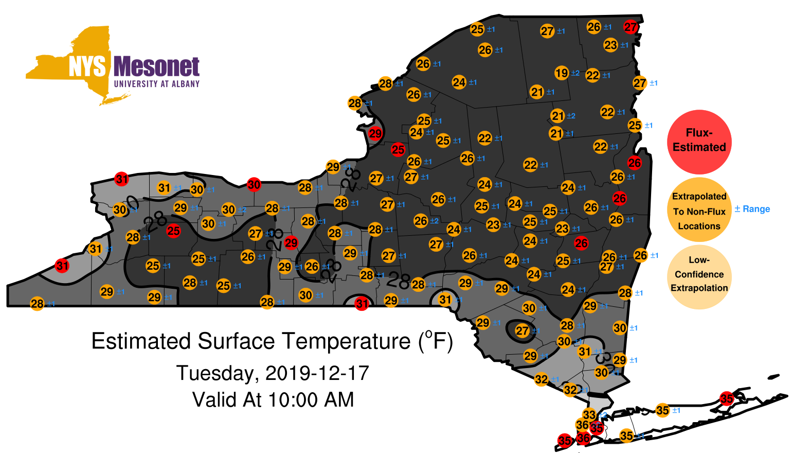
1912171000surfaceestimate.png
2019-12-17 10:00
352K
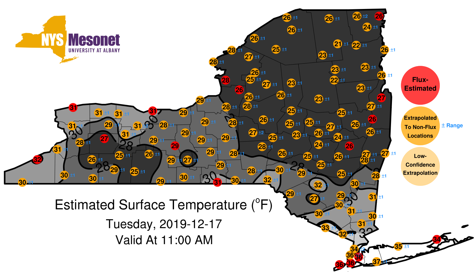
1912171100surfaceestimate.png
2019-12-17 11:00
354K
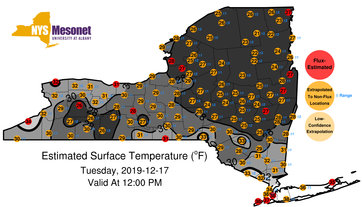
1912171200surfaceestimate.png
2019-12-17 12:00
349K
1912171300surfaceestimate.png
2019-12-17 13:00
352K
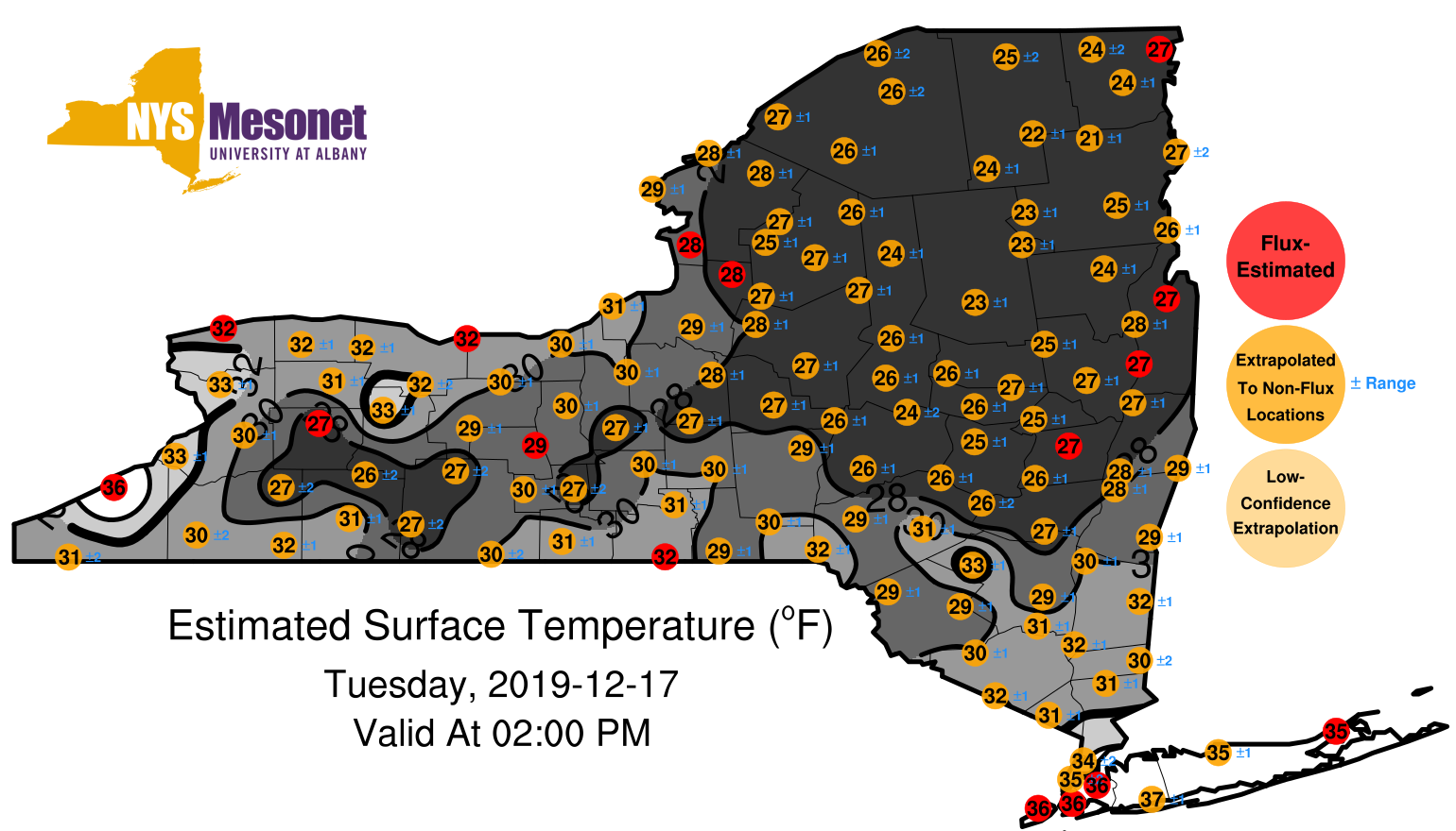
1912171400surfaceestimate.png
2019-12-17 14:00
351K
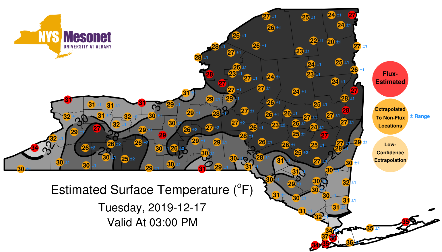
1912171500surfaceestimate.png
2019-12-17 15:00
361K
1912171600surfaceestimate.png
2019-12-17 16:00
365K
1912171700surfaceestimate.png
2019-12-17 17:00
378K
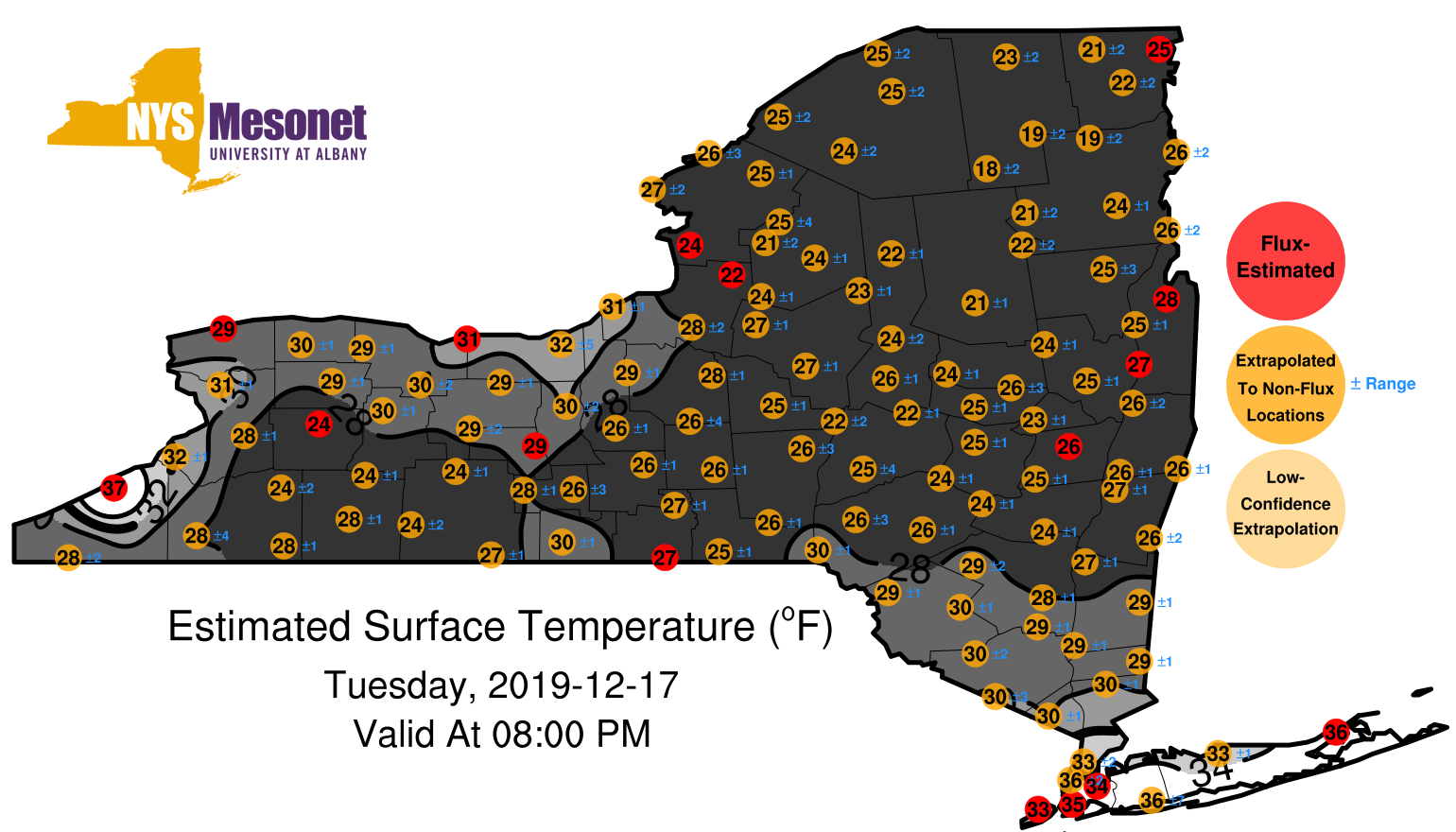
1912171800surfaceestimate.png
2019-12-17 18:00
381K
1912171900surfaceestimate.png
2019-12-17 19:00
391K
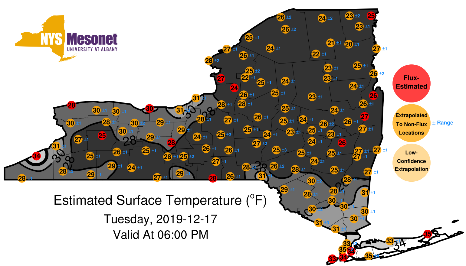
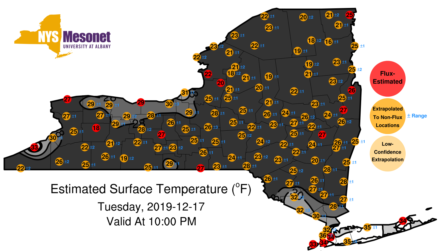
1912172000surfaceestimate.png
2019-12-17 20:00
380K
1912172100surfaceestimate.png
2019-12-17 21:00
367K
1912172200surfaceestimate.png
2019-12-17 22:00
368K
1912172300surfaceestimate.png
2019-12-17 23:00
366K
1912180100surfaceestimate.png
2019-12-18 01:00
370K
1912180200surfaceestimate.png
2019-12-18 02:00
354K
1912180300surfaceestimate.png
2019-12-18 03:00
350K
1912180400surfaceestimate.png
2019-12-18 04:00
354K
1912180400surfaceestimate1.png
2019-12-18 04:00
354K
1912180400surfaceestimate2.png
2019-12-18 04:00
354K
1912180400surfaceestimate3.png
2019-12-18 04:00
354K