Networks+
Standard Network
Thruway Network
COMET
DHSES
Dashboard
NOAA/NYC
Archive
NYSM Cases
Project 1: Soil Moisture & Flooding
Base Map:
1 Hour MRMS Precipitation
Base Map:
3 Hour MRMS Precipitation
Base Map:
6 Hour MRMS Precipitation
Base Map:
12 Hour MRMS Precipitation
Base Map:
24 Hour MRMS Precipitation
Base Map:
48 Hour MRMS Precipitation
Base Map:
72 Hour MRMS Precipitation
Base Map:
1 Hour RFC Flash Flood Guidance
Base Map:
3 Hour RFC Flash Flood Guidance
Base Map:
6 Hour RFC Flash Flood Guidance
*Maps Update Every Hour, Meteograms Every 5 Minutes
Project 2: Freezing Rain
Variables vs. Climatology
Historical Percentile Maps
Latest Critical Values
24 Hour Average Values
Estimated Surface Temperature
Below Maps Not COMET
Icing Indicator (Untested)
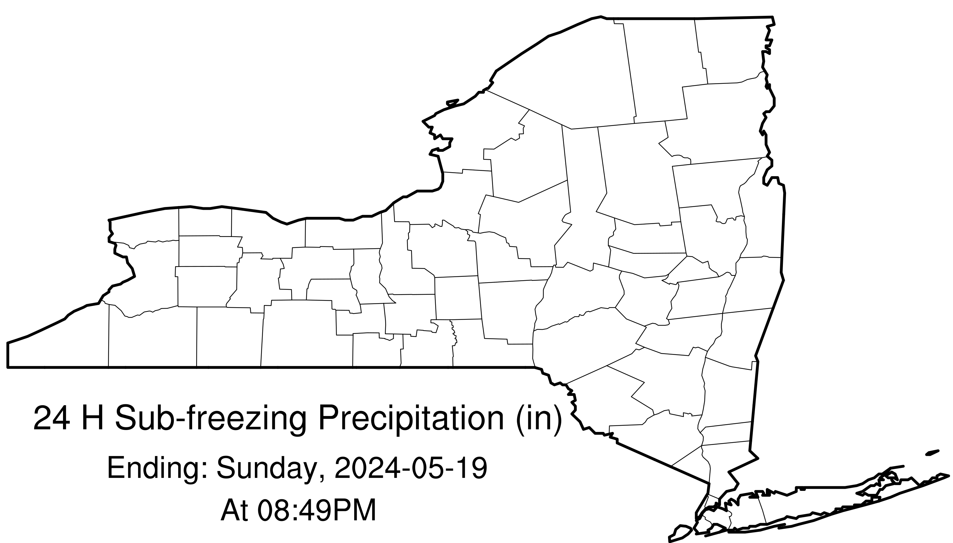
24 Hour Sub-Freezing Precip
24 Hour FRAM Ice
1 Hour FRAM
*Maps Update Every 5 Minutes
Project 3: Severe Weather
Theta-E Gradient
Latest
Animation
Lifted Condensation Level
Latest
Animation
3 Hour Pressure Change
Latest
Animation
24 Hour Severe Weather Summary
Map
All <32F Wetbulb Precipitation Over 24 Hours
Alex Kellman Conducted Research On This Project - To Watch Alex's Final Presentation,
Click Here
This Research Was Proudly Conducted Via COMET Partners Funding (SUBAWD001611) - Proposal
Viewable Here